Your Land
Fields, Boundaries, Guidance Lines and Flags
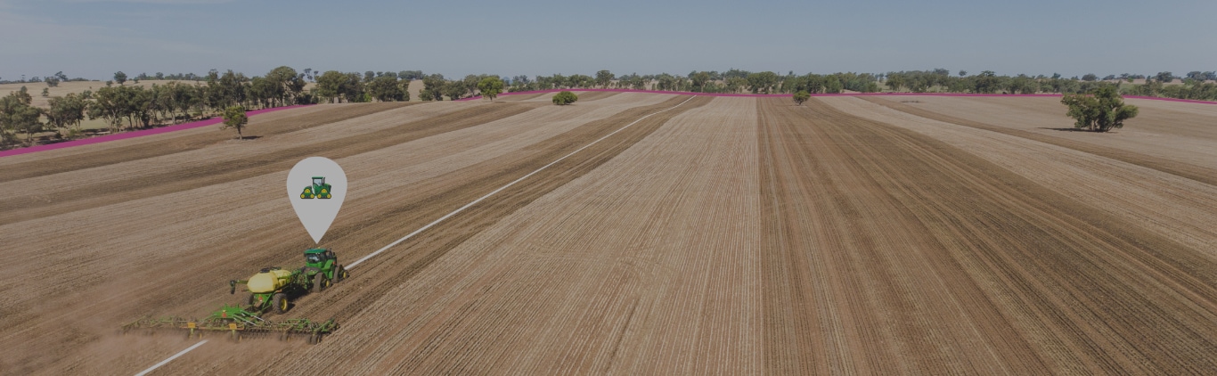
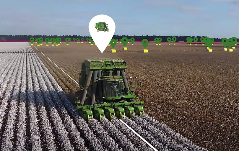
In the real world, land is your greatest asset. And in a digital world it’s no different. The Land tool is where you will set up and maintain all your land assets such as Fields, Boundaries, Guidance Lines and Flags.
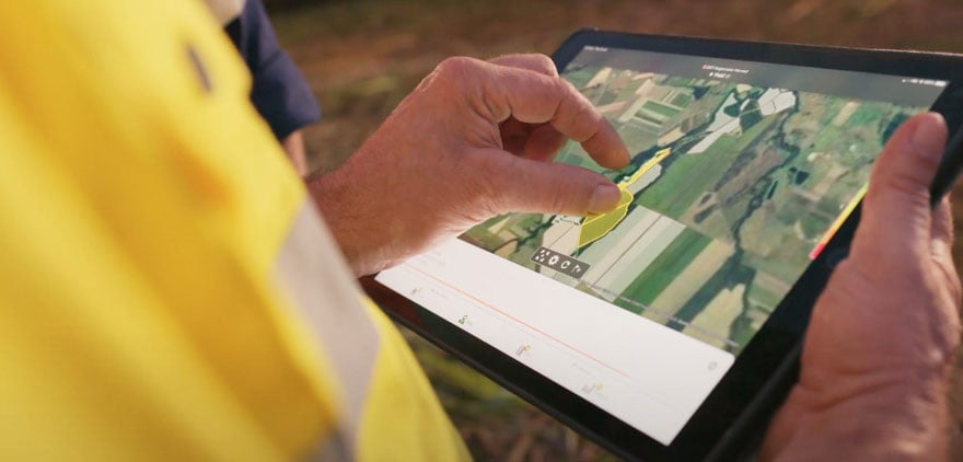
Setting up your location data in Operations Center web before your operators get to the field saves your team time and increases fieldwork precision from pass to pass. This information can be reused across field operations over time.
You can create all of these Land Assets in Land, or you can create them on a display in the field and import them into the Land tool in Operations Center. Whether you create them in Land or in the field depends on what you want to use the assets for.
Best practice is to create Boundaries and Guidance Lines in the field using RTK accuracy as this is accurate to 2.5 cm and repeatable over time. You should use this method if you want to use machine automation features like Section Control, AutoTrac™ Turn Automation, or Boundary Track.
However, if you only want to use Boundaries for record keeping, and you don’t require accurate and repeatable Guidance Lines, then you can create these in the Land tool or import them from another source, which can be much faster and easier.
Want to know more about how and why boundaries will drive the farms of the future? Read our opinion-editorial and Q&A from Precision Ag Manager, Benji Blevin, to find out.
Get Started with Land
Next step
Set up Your Products
Need further advice?
